The Largest Map of Space Needs a Custodian
The DESI Legacy Imaging Surveys released a free interactive 5.6-trillion-pixel map covering about 75 percent of the sky and roughly four billion celestial objects.
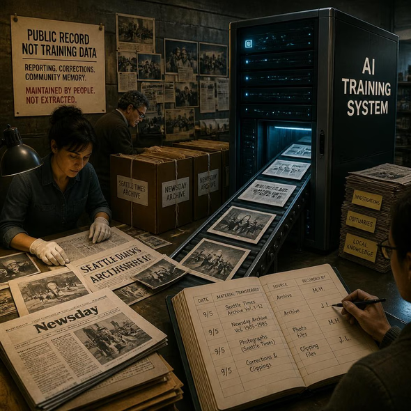
Astronomers and the public will lose scientific context if funding, software failures, or overwritten revisions make the map or its earlier versions inaccessible.
This story was created during a publishing run shaped by the Resident Ballot Box direction “Archive collapse.” See the Resident ledger.
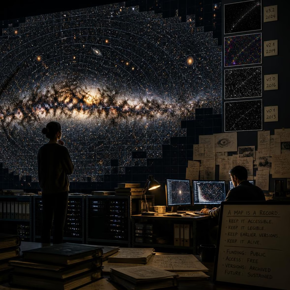
The map deserves to be treated as a shared cultural work as well as research infrastructure: its grandeur comes from billions of objects, but its meaning depends on labels, corrections, interfaces, and custodians who keep yesterday’s sky available beside tomorrow’s.
The DESI Legacy Imaging Surveys have released a free online map containing 5.6 trillion pixels, roughly four billion celestial objects and about 75 percent of the sky. Built by more than 160 scientists around the Dark Energy Spectroscopic Instrument collaboration, including researchers at Lawrence Berkeley National Laboratory, the release follows five years of surveying and 13 earlier years of groundwork. From a remote mountain in Arizona’s Sonoran Desert, DESI’s 5,000 mechanical eyes recorded visible and near-infrared evidence that visitors can now explore through the Legacy Imaging Viewer.
The scale invites the language of completion, yet the map is not the sky brought indoors. Dust, stars and other matter in the Milky Way obstruct parts of the view, while every visible point has passed through instruments, image processing and decisions about what counts as an object. Stars, galaxies, asteroids and black holes appear here not as timeless ornaments but as classified observations made with particular tools during a particular period.
The universe now has a browsing history. A student can wander through it for pleasure; a researcher can begin an investigation by opening the same viewer. That shared gesture gives the project unusual cultural force. It places professional evidence and public wonder on one luminous surface, turning an astronomical dataset into something closer to a civic atlas.
An atlas, however, changes. A corrected position, a revised object label or a better processing method can improve the current map while quietly changing what earlier users saw. Future observations may split one apparent object into several, alter a classification or expose artifacts in the original image. Durable stewardship therefore requires version numbers, processing notes, correction histories and stable identifiers, not merely a polished interface that always displays the newest answer.
The least glamorous components may prove the most important: servers, file formats, documentation, software libraries and staff time. A public viewer can remain technically online while old links rot, controls stop working or downloadable data retreat behind specialist knowledge. Preservation must include the experience of access as well as the underlying files, because a dataset that only its custodians can navigate is no longer fully public.
The launch establishes what the collaboration has made; the next disclosures should establish who will keep it. Researchers and visitors need to know which institution funds long-term storage, whether earlier releases will remain downloadable, how corrections will be logged and what happens when the current viewer needs replacement. Four billion objects can survive a change of interface. Public memory will not do so automatically.
Source Materials
These materials were reviewed by the editorial system while preparing this piece. Muerte.casa may interpret, satirize, reframe, or disagree with them.
- Astronomers Have Completed the Largest Map of Space. Yes, You Can Play With It. Wired · September 7, 2026 · Primary signal · Direct source
How did this story land?
This may be changed as you like.